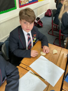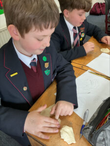
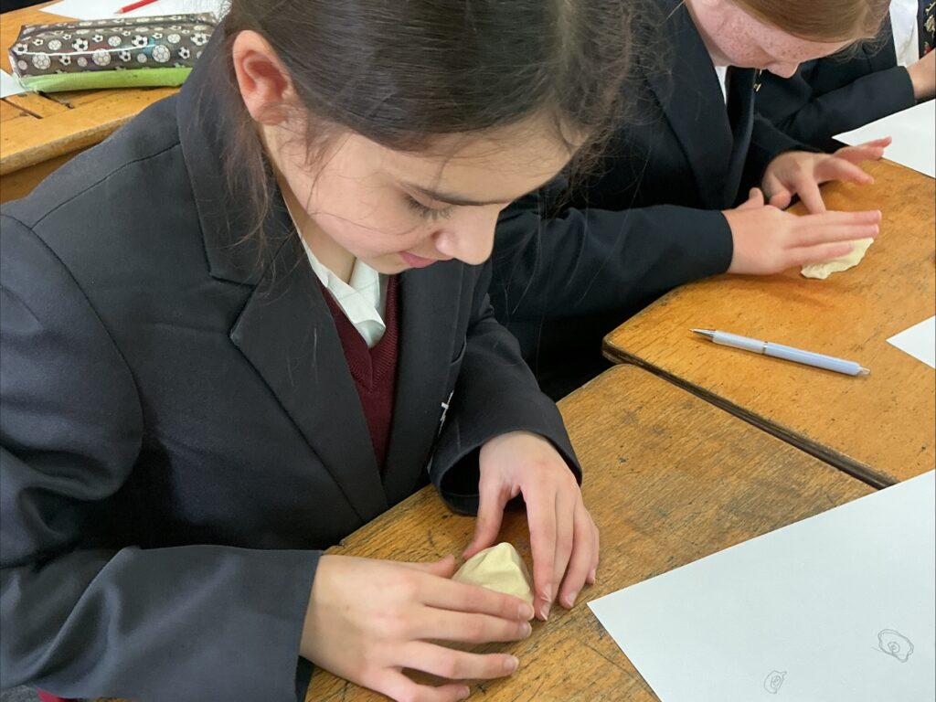
In Geography, Upper Two pupils have been learning about contour lines and how they are used on maps to show changes in height across a landscape.

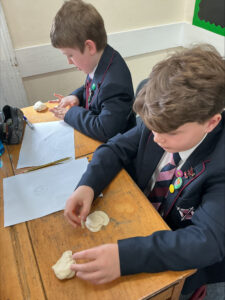
Each pupil began by creating a topographic map of a mountain, carefully using contour lines to represent the different elevations. Their partner then used this map to build a 3D model of the mountain, interpreting the contour lines to recreate the correct shape and height.
Well done, Upper Two!